
 Asset Publisher
LOCATION
 Położenie, fot. Krzysztof Moroz
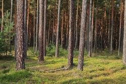
 Położenie, fot. Mariusz Grondys
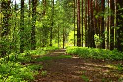
 Położenie, fot. Mariusz Grondys
Zielona Góra Forest District is one of twenty districts that are part of Directorate General of the State Forests in Zielona Góra. It is located within two counties (Zielona Góra, Krosno) and Zielona Góra urban district. It covers 5 communes: Czerwieńsk, Zielona Góra, Świdnica, Dąbie, Krosno Odrzańskie and the city of Zielona Góra. It is divided into 10 sub-districts. The territorial range of the forest district is 30 691.83 ha and a forest and land area is 17 328.96 ha.
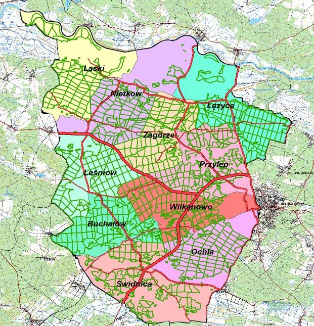
The length of the Zielona Góra Forest District borders is 93.368 km.
The following major roads run through the area of a territorial range of the forest district:
1. Trunk road no. 27 Zielona Góra - Żary
2. Trunk road no. 32 Zielona Góra - Krosno Odrzańskie
3. Provincial road no. 279 Nietków - Świdnica - Ochla
4. Provincial road no. 280 Zielona Góra - Czerwieńsk - Brody
5. Provincial road no. 281 Zielona Góra - Wysokie
Apart from those roads, there is a dense network of local roads of varied length and surface quality connecting particular towns and hamlets.


